Alaska PaleoGlacier Atlas
Pleistocene glacier extents in Alaska
|
Alaska PaleoGlacier Atlas Pleistocene glacier extents in Alaska |
INTERACTIVE MAP OF GLACIAL LIMITS AND AGE CONSTRAINTS IN ALASKA |
|
Data from ICE-D can now be served as a Web Feature Service (WFS) that can be viewed and analyzed in a personal desktop GIS application like ArcGIS and QGIS. Copy the following URL and use it to set up a WFS connection in your desktop application: https://geoserver.ice-d.org/geoserver/wfs?version=2.0.0 Geoserver hosts the ICE-D Web Feature service here and specific details about the WFS can be found in the 'Get Capabilities' URL here. |
|
Please find all mapped limits - Maximum Pleistocene (Max Pleist) extent, early (Early Wisc) and late (Late Wisc) Wisconsinan extents - developed through the Alaska PaleoGlacier Atlas, and modern glaciers as layers that can be toggled on and off in the interactive map. Additionally, please find all up-to-date cosmogenic-nuclide exposure ages measured in Alaska by the community. This open-sourced layer is provided by the informal cosmogenic-nuclide exposure-age database ICE-D. Read about the history and goals of the Alaska PaleoGlacier Atlas on the "About" Page, and download all of the mapped glacial limits and other layers on the "downloads" page. |
|
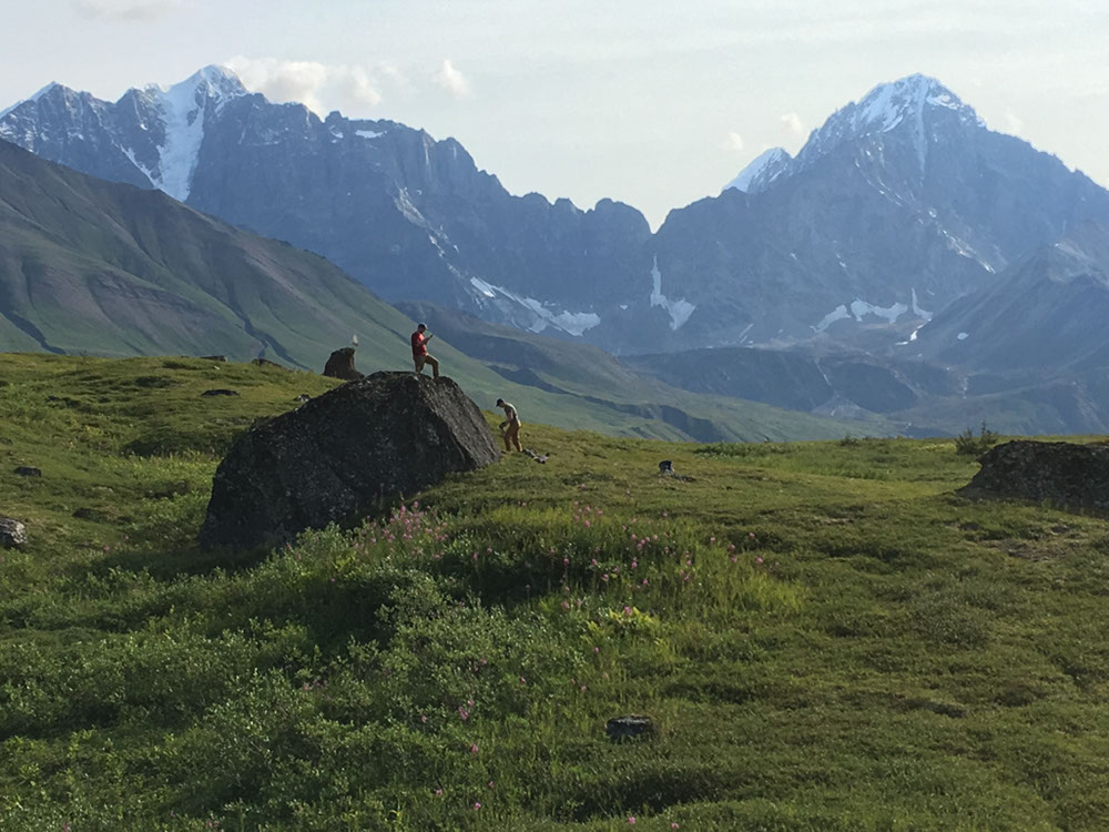
contributors: Jason Briner jbriner@buffalo.edu and Joseph Tulenko jptulenk@buffalo.edu UB Geology Department website and Glacier History Lab website Webpage updated from the orginal Alaska Paleoglacier Atlas designed by William Manley william.manley@colorado.edu and Darrell Kaufman darrell.kaufman@nau.edu top photo credit: Jason Briner, sampling moraine boulders in the Revelation Mountains, western Alaska Range |